Log in
All resources
Create a design
20 Free Artworks of 18th Century Maps Of Mexico
latin-language maps
old maps of mexico
18th-century maps of the spanish empire
dien (printer)
prints from bonne atlas de toutes les parties at the peace palace library
maps by pieter mortier
french-language maps of north america
cartography
engraving
chalcography
maps by jacques-nicolas bellin
jacques-nicolas bellin
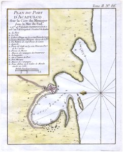
veracruz
florida
18th-century maps of the spanish empire
dien (printer)
a map of the british empire in america with the french and spanish settlements adjacent thereto
maps in the library of congress
islands of california
nicolas de fer
18th-century maps of nicaragua
1780 in central america
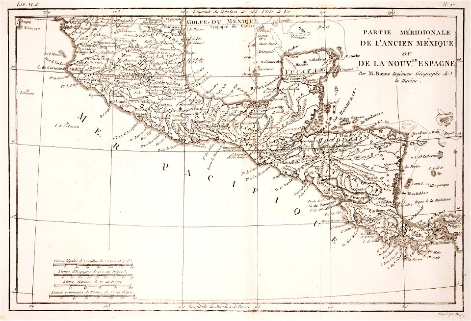
18th-century maps of north america
1708 maps of north america
1740s maps of the caribbean
daniel de la feuille
1790s maps of central america
1790s maps of cuba
cartography
maps
carta hydrographica y chorographica de las yslas filipinas
baroque painting
maps by pieter mortier
maps from gallica
cartography
maps
mappe-monde geo-hydrographique (sanson and jaillot, 1674)
cartography of france
1650s maps of the americas
1658 maps
maps by louis brion de la tour
1786 maps of north america
18th-century double hemisphere world maps
1730s maps of the world
18th-century double hemisphere world maps
1730s maps of the world
1779 maps of the united states
1770s maps of the caribbean
1740s maps of the americas
1747 maps of north america
1 - 20 of 20
/ 1